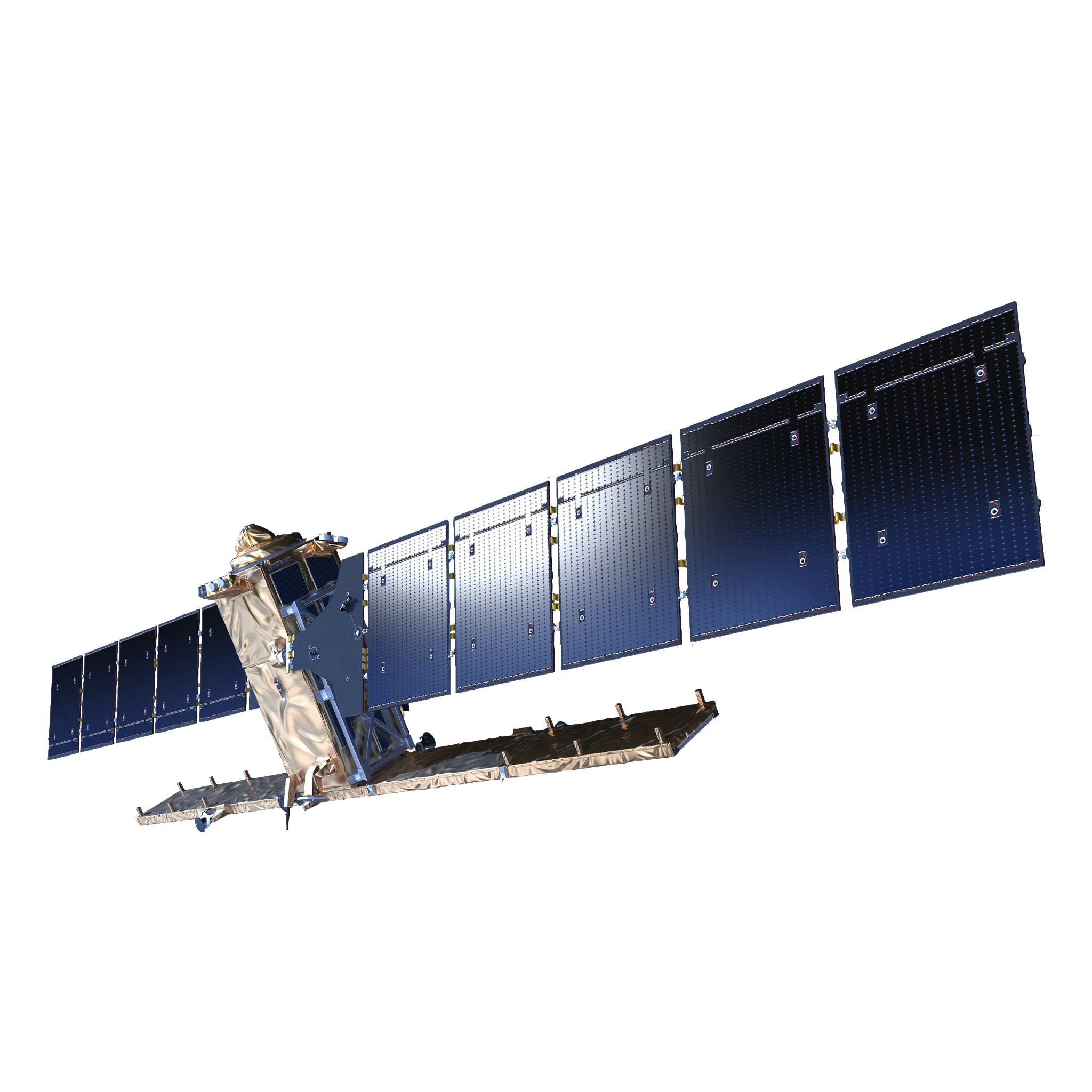
Data from Earth Observation
We analyse data and generate indices from satellite images, aerial photos and drones. Combining information from EO with A.I. we can automatically identify features such as trees, agricultural plots, map fire damage and more.
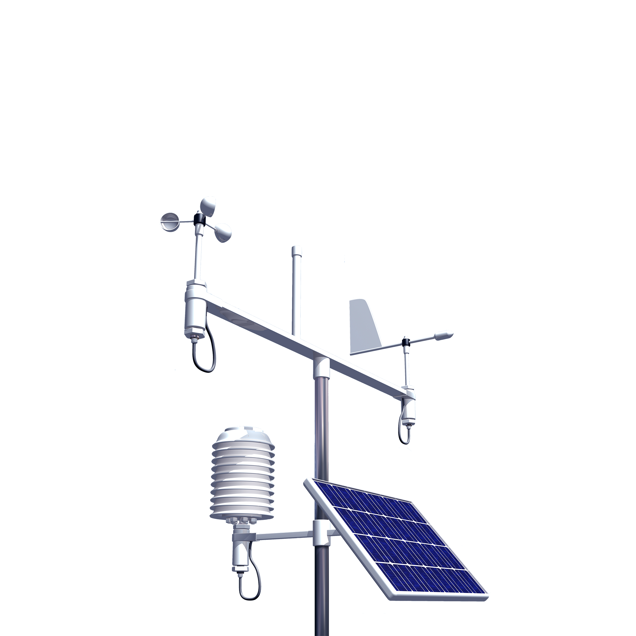
Data from IoT sensors
We collect data from the field through IoT sensors, smart traps and geo-referenced mobile applications to generate dashboards and decision support tools, safeguarding crops from damage caused by insects, weather and disease.
Customised dashboards
We design business process workflows, providing users with easy-to-read dashboards, that simplify the management and fulfillment of administrative tasks and the physical work itself, through the use of apps in the field.